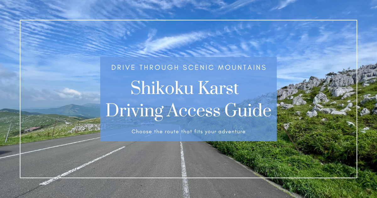
A Scenic Drive to the Sky Starting from Matsuyama

As its name suggests, the Shikoku Karst is a vast karst plateau stretching across the highlands of Shikoku. Its expansive grassy plains, dramatic limestone formations, and the thrill of driving above the clouds make it a must-visit destination.
There are several routes to this “paradise in the sky,” but since the journey involves winding mountain roads, the path you choose can greatly impact your overall experience.
In this article, we’ll compare two main routes from Matsuyama by car or motorcycle. We’ll explain their features and driving tips so you can choose based on your travel style. Let’s find your perfect route to the sky.
Two Main Routes from Matsuyama to the Shikoku Karst
According to the official site of Himezuruso, there are two recommended driving routes from Matsuyama to the Shikoku Karst.
1. [Route A] Via Prefectural Road 36, Entering Through Jiyō Pass
Features of Route A
- Some narrow sections, but passable. The shortest route for confident drivers.
- May experience traffic congestion during weekends or holidays
2. [Route B] Via National Route 440 Through Kochi Prefecture
Features of Route B
- Two-lane roads throughout, ideal for beginners or those seeking a safer drive
- Less risk of traffic congestion compared to Route A during peak times
- Longer in distance than Route A
The Routes Split at the Nishidani Overpass
Both routes share the same path from central Matsuyama to the area near the Shikoku Karst.
The choice is between taking some narrower shortcuts for the shortest route (Route A) or opting for a safer, two-lane road with minimal congestion (Route B).

| Route | Distance | Estimated Time |
|---|---|---|
| Route A | Approx. 75km | Approx. 1 hr 45 min |
| Route B | Approx. 85km | Approx. 2 hr |
Route B may look significantly longer on the map, but it’s only about 10km more according to Google Maps. That said, the Himezuruso website notes it as being about 40km longer, so take these figures as rough estimates.
For reference, I personally took the shortest route (Route A) from Matsuyama at a relaxed pace and arrived in about 2 hours, so it’s good to allow for extra time.
Again, the two routes diverge at the Nishidani Overpass.

Which Is Better: The Shortest or the Safest Route?
I personally drove Route A (entering the Shikoku Karst via Jiyō Pass), and while there were a few narrow spots, there were no areas too tight for passing, making it a viable option from Matsuyama.
However, as the Himezuruso website mentions, Route A may become congested during peak seasons. So, depending on your travel timing, it’s best to choose between the shortest route or the safer alternative.
[Common to Route A and B] From Central Matsuyama to Nishidani Overpass
1. Head South on National Route 379 from Matsuyama

From Matsuyama, head south along National Route 379. Since Routes 440 and 33 also overlap in this area, you may see varying signage, but follow the main road south.

2. Enter National Routes 440 and 33

As you enter Tobe Town and continue south, you’ll pass Tobe Pottery Center and a Lawson convenience store nearby.
This is where Route 379 and Routes 440/33 split—take the path toward National Routes 440 and 33.

3. Turn Right onto Route 33

Further ahead, Route 33 splits from Route 440. Turn right here to follow Route 33.

4. Merge Again with Route 440
Continue along and you’ll eventually merge again with Route 440. Just keep going straight.

5. Roadside Stations “Sansan” and “Mikawa”
You’ll find roadside stations “Tenkū no Sato Sansan” and “Mikawa” along the way. They’re located roughly halfway to the destination and are ideal rest stops.


6. Loop Around to Route 440

At Yanagidani Bridge, Route 33 splits from Route 440. Turn left here to proceed on Route 440.

7. Turn Right at Nishidani Overpass
From here, follow the route for the shortest option, Route A. Eventually, you’ll reach the Nishidani Overpass where Route 440 splits from Prefectural Road 36. Turn right here onto Road 36.


8. Turn Left at Nakakubo Intersection

Turn left at the Nakakubo intersection and continue on. The road narrows here, but it’s still wide enough for two vehicles to pass.


9. Head Left at Jiyō Pass

This is the final split. Turn left at Jiyō Pass onto Prefectural Road 383.


From here, it’s a straight shot to Shikoku Karst. Though the road narrows slightly, it’s still wide enough for two-way traffic.

Arriving at the Shikoku Karst

The Journey Itself Becomes the Destination
Shikoku Karst isn’t just a destination—getting there is part of the adventure. Winding mountain roads and stunning skies make the drive itself a memorable experience where you feel the power of nature and the richness of Shikoku’s terrain.
Route A, with its narrower stretches, offers a shorter drive. Route B, though longer, provides a safer, two-lane experience. Either way, the breathtaking views at the top remain the same.
Choosing your path to the Karst is a part of the journey. If you’re planning a trip from Matsuyama, let this guide help you find the route that suits you best—and discover one of Shikoku’s most majestic landscapes.

